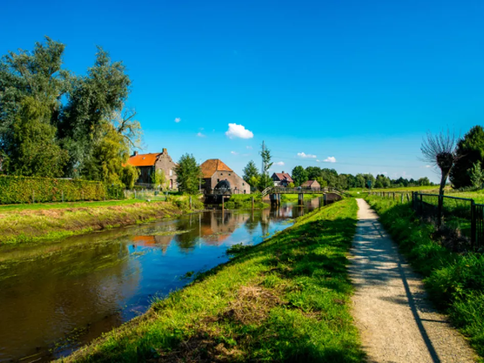
The walking route Along the history of Neer passes the meandering Neerbeek, the stream crossing, the Schans, the main roads and other beautiful natural areas and monuments.
The village used to be wedged in between the moors, swamps and the Maas. Because of this, the main roads now run through or along the village.
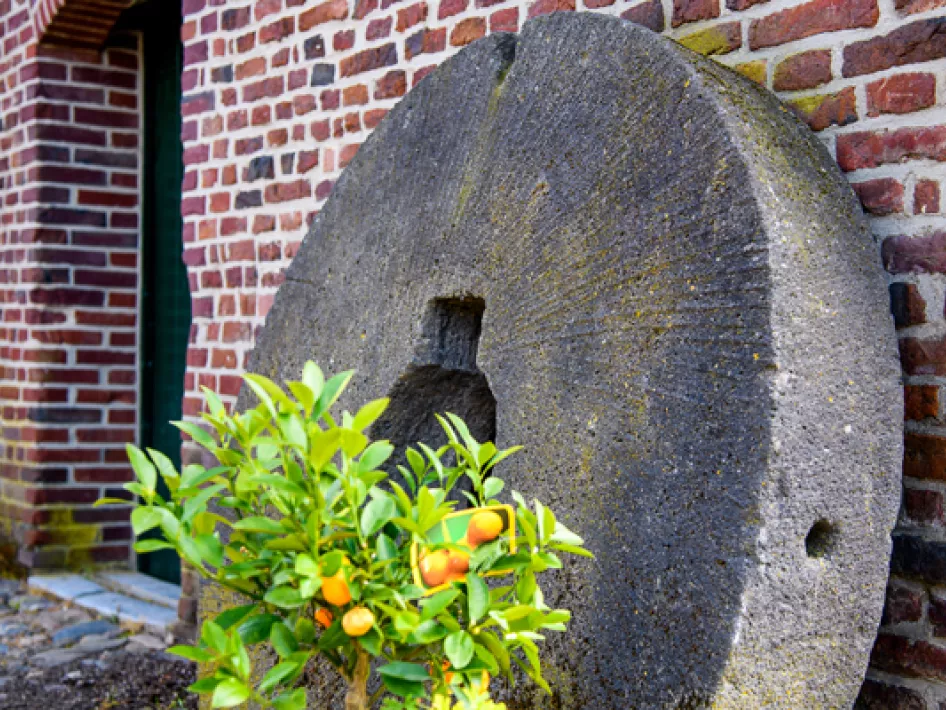
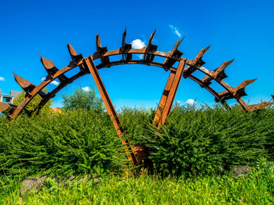
In the Middle Ages, the village also had a walled enclosure with gates, a Vrijthof and a Gasthuis, which actually only occurred in cities. The gates were defended by militias, of which 5 still existed until after the war. At the beginning of 1200, the monastery Keizerbosch was founded. This had a great influence on the development of the village, with 5 watermills on the Neerbeek.
This walking route can be followed via the Leudal walking interchange network. The route starts at the Kerkplein in Neer. Here you can park your car. From the Kerkplein, walk via the Spuitjesstraat towards the first walking junction: number 22.
