Enjoying the Maas
The Maas forms the Belgian-Dutch border for 40 km from Maastricht to Kessenich. It is an area with its own identity and with some monumental historic places, such as Thorn and Stevensweert on the Dutch side, but also many beautiful villages on the Belgian side along the Maas.
Rivierpark Maasvallei Limburg
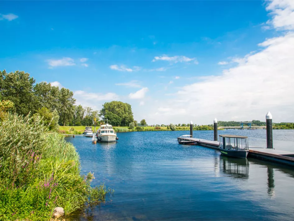
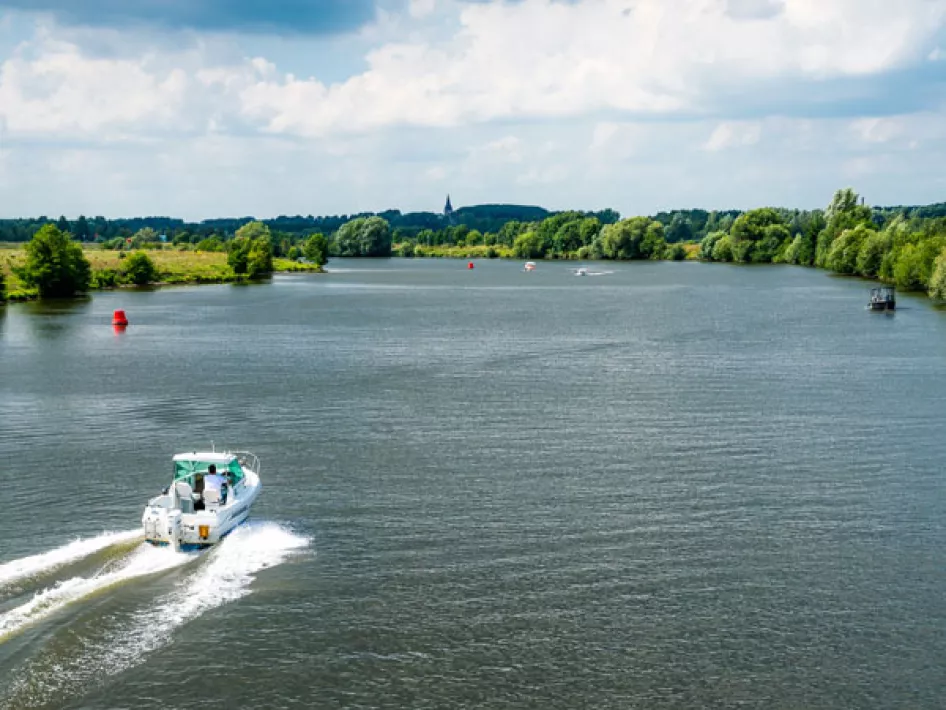
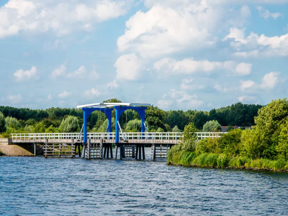
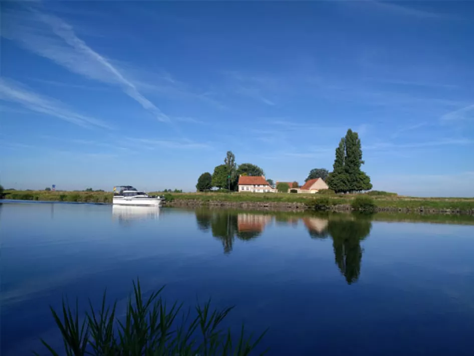
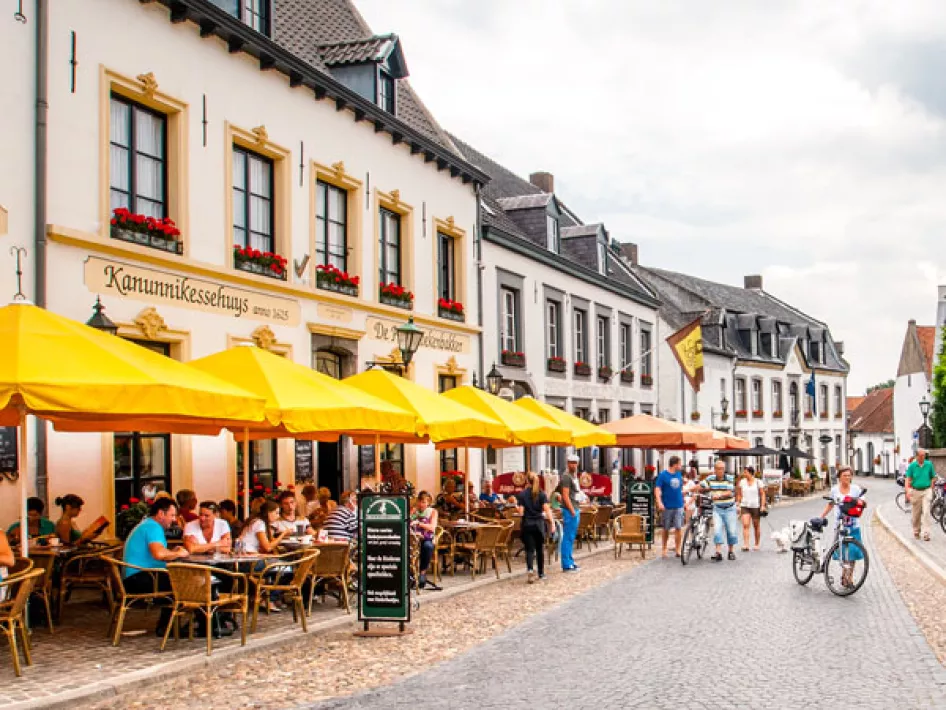
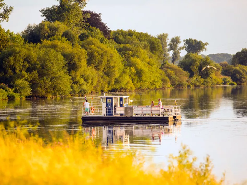
The Meuse Valley River Park stretches along the rainy river Meuse. In the winter, when there is heavy rainfall in the Ardennes, for example, the river has room to leave its bed. This has created an extensive network of river arms, river banks, gullies, gravel ponds, recreational areas and floodplains. 630 ha of this landscape have been set aside as nature reserve.
Nearby
The distances mentioned below are the distances from the location above.
0,16km
Cycle route
0,31km
Cycle route
0,32km
Walking/hiking routes
0,33km
Walking/hiking routes
0,39km
Walking/hiking routes
0,40km
Walking/hiking routes
1,14km
Walking/hiking routes
1,24km
Horse riding trails
1,95km
Walking/hiking routes
1,95km
Walking/hiking routes
1,95km
Walking/hiking routes
2,09km
Cycle route
2,09km
Cycle route
2,52km
Walking/hiking routes
2,63km
Cycle route
2,69km
Walking/hiking routes
3,22km
Cycle route
3,28km
Walking/hiking routes
3,53km
Cycle route
3,64km
Walking/hiking routes
3,68km
Cycle route
3,91km
Walking/hiking routes
3,91km
Cycle route
4,32km
Cycle route
4,34km
Walking/hiking routes
4,45km
Walking/hiking routes
4,50km
Walking/hiking routes
4,50km
Walking/hiking routes
4,51km
Walking/hiking routes
4,61km
Cycle route
4,73km
Cycle route
4,85km
Cycle route
5,44km
Walking/hiking routes
5,51km
Cycle route
5,51km
Cycle route
5,51km
Cycle route
5,71km
Cycle route
6,15km
Walking/hiking routes
6,32km
Cycle route
6,89km
Walking/hiking routes
6,95km
Walking/hiking routes
7,06km
Cycle route
7,22km
Cycle route
7,28km
Walking/hiking routes
7,34km
Cycle route
7,47km
Cycle route
7,47km
Cycle route
7,48km
Cycle route
7,66km
Horse riding trails
7,69km
Walking/hiking routes